
First Snow Flurries of the Season Drift Into Sumner County |
Light flurries touched Gallatin, Hendersonville, and northern towns as Middle Tennessee felt its coldest day so far. No accumulation yet, but winter has officially arrived. |
 |
The first snowflakes of the season floated across Sumner County this morning, barely enough to stick, but just significant enough to be noticed. Early commuters in Gallatin and Hendersonville saw flakes swirling around headlights around 6 a.m., carried by a sharp northwest wind that dropped temperatures into the upper 20s.
The National Weather Service called Monday the coldest morning so far this fall. A deep pocket of Arctic air moved in overnight, pushing wind chills into the teens across northern Middle Tennessee. Nearby counties on the Cumberland Plateau, including Putnam and Fentress, saw heavier flurries and a light dusting along grassy areas.
By mid‑morning, residents from Westmoreland to Cottontown were posting quick phone videos of flakes drifting past streetlights. It was the first time since late February 2025 that Sumner County had seen snow of any kind.
Meteorologist Katy Morgan with FOX 17 said the area is catching the edge of a fast‑moving disturbance sliding east along the Ohio Valley. Temperatures in the upper 20s to lower 30s supported a brief window for snow before the dry air pushed back in. “You might see flakes through midday, especially north of the Nashville metro,” she said. “There’s no accumulation expected, but the breeze will make it feel much colder.”
Road conditions stayed clear across I‑65 and Highway 109. TDOT crews reported no slick spots, though officials reminded drivers that bridges and overpasses could cool faster than normal tonight as lows dip near 24 degrees. Hendersonville police urged residents to watch for black ice early Tuesday morning.
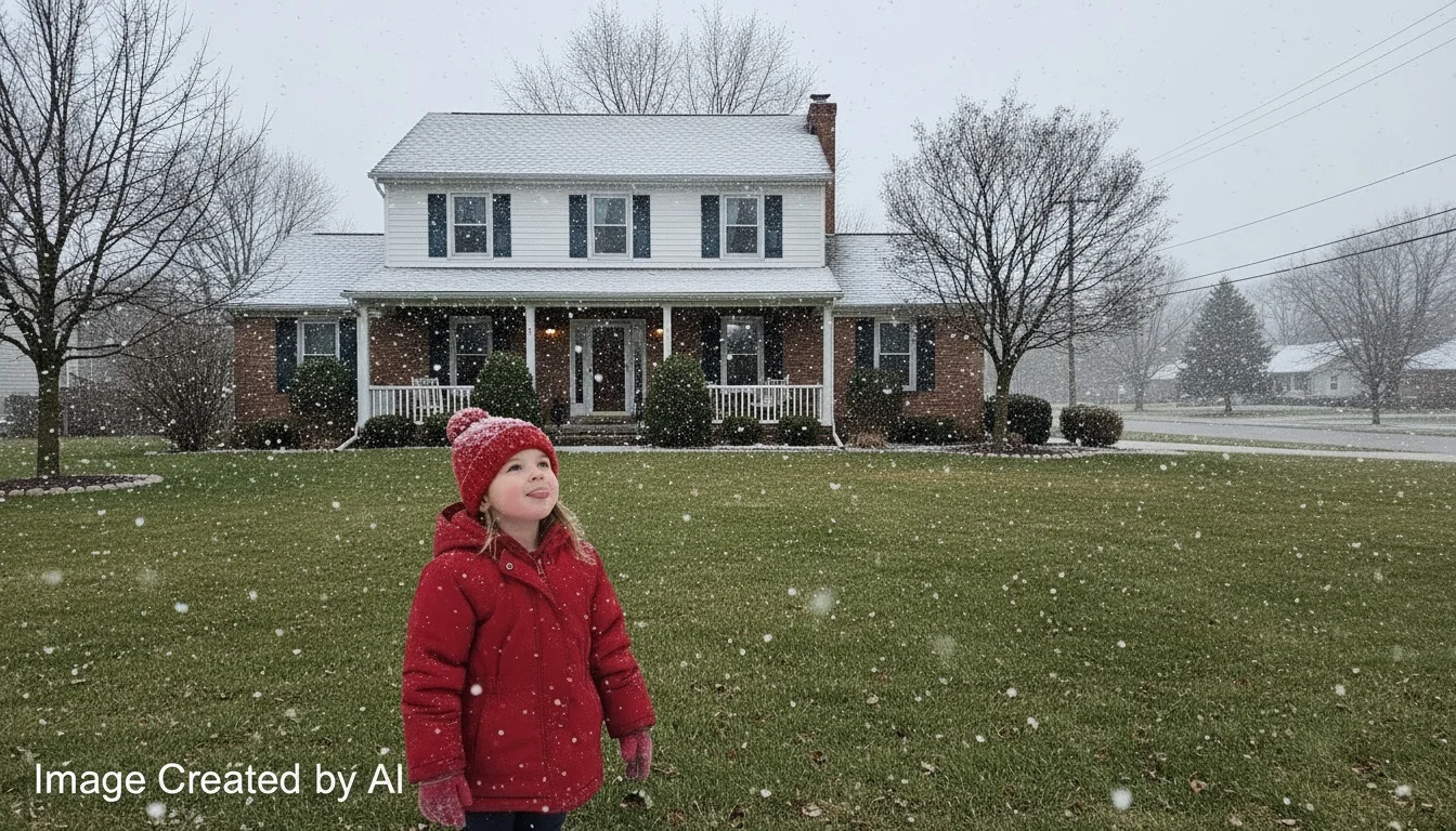
For many locals, though, the sight of those white specks was a welcome change. Bethpage resident Linda Scott said her granddaughter called the flakes “tiny feathers falling from the sky.”
She laughed when asked about the timing. “It always seems like it happens right after I put away the rake,” she said. Local schools remained open, though some began dusting off cold‑weather protocols, checking heating systems and morning bus routes. Gallatin schools confirmed buses ran without issue despite the biting wind.
The next few days will stay chilly, with highs only in the upper 30s Tuesday and a gradual rebound into the low 50s by Thursday. Forecasters say another weak system could brush northern Tennessee late this weekend, but the odds of measurable snow remain slim.
Farmers in Portland and Bransford welcomed the cold snap, saying it helps finish off lingering pests ahead of winter planting schedules. “It’s about time we got some frost that sticks,” said vegetable grower Terry Mills.
Whether it’s the crunch of frozen grass underfoot or the short burst of flurries against gray skies, that unmistakable shift into winter has started. The flakes that landed briefly in Sumner County didn’t cause much fuss, but they made it clear: autumn has lost its hold. |